How high’s the water, momma? Rivers still rising in western Montana
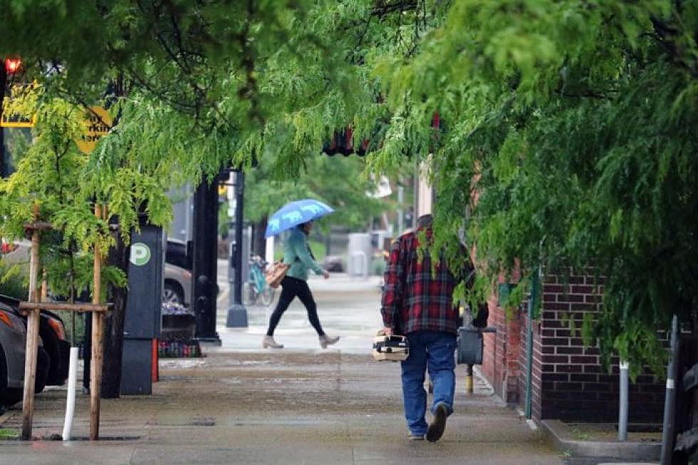
Heavy rainfall across portions of southwest and western Montana pushed Missoula's flood watch to a flood warning on Tuesday morning, with the Bitterroot River forecast to crest at the minor flood stage later this week.
The Clark Fork River near Drummond could also top its banks.
The National Weather Service in Missoula issued its initial flood watch on Monday, but elevated it to a warning Tuesday for the Missoula and Bitterroot valleys, as well as the Clark Fork corridor through Deer Lodge and Drummond.
“Over the last 24 hours, the heaviest precipitation has been over on the Bitterroot and Sapphire mountains between Hamilton and Philipsburg,” said NWS meteorologist Genki Kino. “We've seen upward of 2 inches over that timeframe.”
Since Monday, Philipsburg has recorded 2.84 inches of rain. Totals at the Missoula International Airport stood at .55 inches this morning.
“That amount should be increasing,” said Kino. “We expect steady, moderate rain through much of the morning today, and things should begin to taper off this afternoon.”
Even as it does, runoff will work its way into area streams and western Montana's larger river systems. The Clark Fork River near Drummond is forecast to crest midday Wednesday at 8.11 feet while the action stage is just 7 feet.
The Bitterroot River in Missoula is forecast to crest midday Wednesday at 10.98 feet while the action stage is 10 feet. The flood advisory includes Missoula, Hamilton, Lolo, Stevensville, East Missoula, Frenchtown and Corvallis, among other locations.
“We have some rivers that are going to be rising over the next one to two days,” said Kino. “The Bitterroot at Darby will be getting close to that flood stage – all along the Bitterroot, really. And with the amount of rain, all the small creeks and streams are running fast and high right now, and they're still increasing.”