It’s here: La Nina winter delivers Missoula’s second snowiest Christmas on record
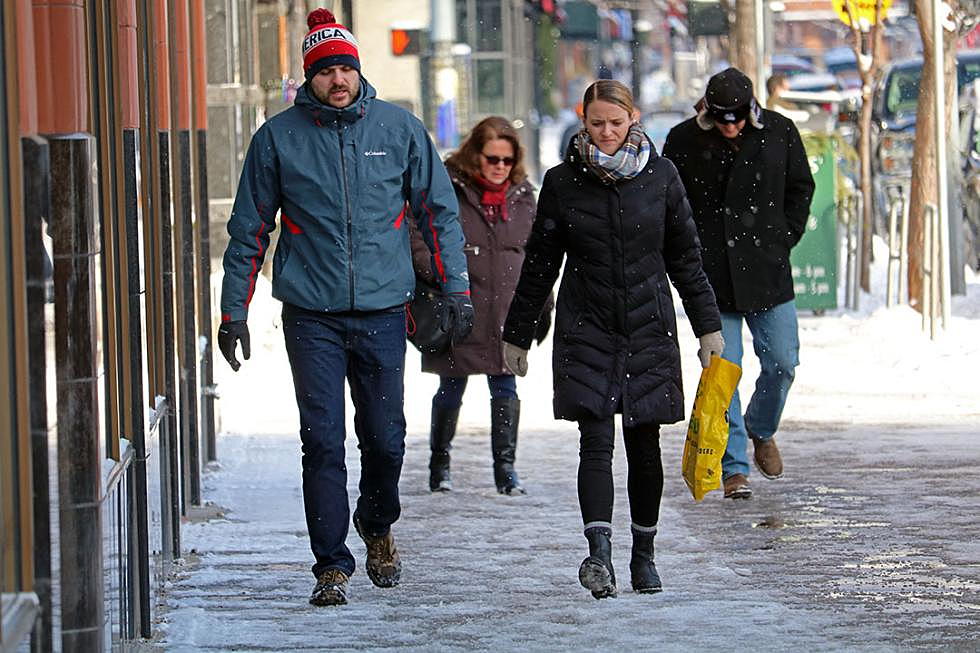
Those pulling for a white Christmas got their wish this week and then some, logging the second snowiest holiday on record. And with a La Nina weather pattern setting up off the Pacific Coast, the arctic temperatures and above-average snowfall are expected to continue.
Bob Nester, a meteorologist with the National Weather Service in Missoula, said Monday's Christmas Day storm delivered 4.1 inches of snow at Missoula International Airport and up to 6 inches in the South Hills.
While snowfall totals varied across the valley, the storm registered as the second snowiest Christmas on record, topped only by the 7.6 inches of snow delivered in 1996.
Temperatures on Tuesday started out at 4 degrees.
“We had 4.1 inches of snow at the airport, which happened to be our second snowiest Christmas,” said Nester. “The frequency of 4-inch snowfalls isn't that great.”
Snowfall totals across the region ranged from 7 inches in areas of Lolo and 5 inches in Polson. More snow is expected this week, with a significant storm setting up for the weekend.
“We've got one of those tropical connections with one of those streams for moisture coming in,” said Nester. “Tonight and tomorrow, we'll have a couple weak systems move through, but Friday and Saturday, we're expecting, easily, anywhere from 3 to 5 inches of snow in the valleys.”
The snowfall totals predicted for the weekend depend upon the arrival of an arctic front and when, exactly, it slides across the Continental Divide. If the timing is right, Nester said 5 inches could prove to be a conservative forecast.
“It's quite possible we could see higher amounts,” said Nester. “We'll have some travel difficulties going over the mountains. We could see temperatures back into the lower teens or even colder by Sunday.”
Similar to last year, a La Niña weather pattern has established off the Pacific Coast, a phenomena that often results in below-normal temperatures and above-average precipitation in western Montana.
By March, La Niña had delivered more than 63 inches of snow at the Missoula airport. The seasonal average is roughly 40 inches.
“The mountains, in all but one of those (La Nina) winters, had above-normal snowpack,” said Nester. “The valley is likely to have above-normal snowpack and below-normal temperatures. Over the course of the season, we're expecting those types of conditions.”