Fire crews monitoring wilderness fires near Missoula as hot weather lingers
Martin Kidston/Missoula Current
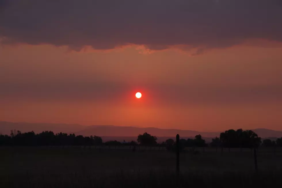
Fire crews continue to keep watch over two fires burning in wilderness areas near Missoula, though the days are getting shorter, the nights longer, and officials believe the end of the 2022 fire season is near.
Until then, however, smoke will continue to be an issue due to regional fires and changing weather patterns.
“The air quality over the weekend was pretty poor, and we'll continue to see that yo-yo effect of poor and good air quality as systems move in,” said Adrian Beck, director of disaster and emergency services for Missoula County. “We have do have two fires in Missoula County that we're keeping an eye on.”
Air quality in and around Missoula reached “unhealthy” conditions, largely due to smoke sweeping north from the Trail Ridge fire south of the Bitterroot Valley. Smoke from Idaho and Oregon was also filtering in.
In Missoula, fire officials are working the Solomon fire, which is currently burning in the Welcome Creek Wilderness and is visible from Interstate 90. Beck said no structures are currently threatened. The fire was last listed at around 260 acres.
“It's not doing anything too concerning,” Beck said. “Being that it's in the wilderness and a lightning- caused fire, it does have a different suppression strategy than we'd see lower in the valley closer to infrastructure. The Lolo National Forest is continuing to monitor that and has a good presence in the area.”
The Boulder Lake fire also is burning in the Rattlesnake Wilderness near Gold Creek, and it too has resources on scene, Beck said. The fire is currently listed at around 50 acres and didn't see significant growth during recent winds.
“They do have resources on scene and they will be suppressing those fires, it's just not as aggressive a strategy,” Beck said. “In the last week, we've seen an increase in fire activity.”
The National Weather Service in Missoula issued a red flag warning for Wednesday and warned of an elevated risk of fire danger as a new weather system moves in, including gusty wind and thunderstorms.
Temperatures are expected to push into the upper 90s on Wednesday before falling off sharply later in the week, with highs on Friday of 70 degrees and nighttime lows around 40.
The cooler weather is expected to dampen fire activity.
“We've been skating through the summer very well,” said Beck. “The nights are getting longer with better recoveries. Anyone who has been out in the morning can see there's a lot of dew. We're nearing the end, but these hot temperatures we're having, we still could see some active fire behavior. It's dry out there.”