Missoula fire danger falls to ‘high,’ even as record heat sets back in
Eighteen days after elevating the fire danger in Missoula to "extreme," officials took it down a notch on Monday to “high.”
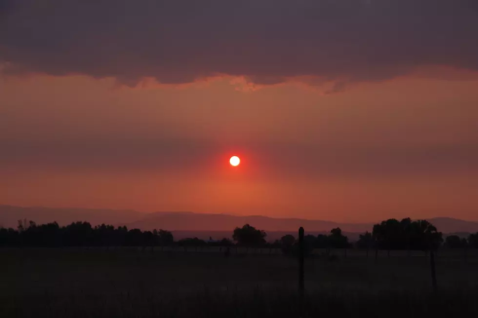
The region's fire protection agencies said that while fires can still start easily and spread quickly in dry needles and grass, cooler temperatures over the past few days and higher fuel moisture have helped dampen the threat faced in early August.
“There is still plenty of tall, dry grass, especially in our lower country, and record temperatures are threatening to return, so we need to continue to be very careful,” said Anna Henderson, the fire prevention specialist for the Lolo National Forest.
According to the National Weather Service in Missoula, the Garden City went 26 days without precipitation between July and August. That streak ended on August 20, which began a week of hit-and-miss monsoonal weather.
The onset of cooler weather also ended the summer's streak of days with temperatures of 100 degrees or more. So far this year, Missoula has recorded 10 days of 100 degrees or hotter, ranking second behind 2007. Some summers, Missoula doesn't hit 100 degrees once.
But weather officials said the region isn't out of the abnormal heat just yet. The last historic day with 100-degree weather was recorded Aug. 26, 1969. Missoula will flirt with 100 degrees this week, even as September rolls in.
“After a weekend of much cooler temperatures, heat is set to return to the Northern Rockies,” the National Weather Service office said. “Temperatures will be 15% to 20% above normal with multiple days of abnormal heat expected.”