Missoula County releases land inventory, measures values
Martin Kidston
(Missoula Current) When Missoula County passed on a proposal to redevelop the Larchmont Golf Course two years ago, it directed staff to conduct an inventory of all land owned by the county in the greater Missoula area.
The resulting inventory, released on Wednesday, sets the stage for future recommendations regarding land-use, from how county-owned parcels are managed to potential new development.
“It started as a housing project, but it will be so much more,” Emily Brock said of the new inventory. “Things are changing but as it stands now, this is the snapshot at this moment of where things stand.”
Brock, director of the new county Department of Lands and Economic Development, said the county has been acquiring, developing and disposing of land to serve residents for 150 years.
The most recent disposal came in 2019 when the county donated several acres of public property near the jail to the Trinity housing project, which will provide 150 affordable apartments when it opens this year.
The county in 2022 also created its first housing policy in Breaking Ground, which called for a “strategic framework for acquiring or using county land for affordable housing development.”
But the directive that led to the inventory's creation started in 2021 when a team of developers proposed redeveloping the Larchmont Golf Course into several thousand housing units. In exchange, they offered to build a new public course just down the highway. The county passed on the proposal, which had both supporters and opponents, and directed staff to inventory the county's land holdings.
It also needed a way to measure the values attached to the various parcels it owned.
“The Larchmont proposal really was an early reminder of the triggering nature of the task at hand, and how important methodology is to public trust,” Brock said. “There are lots of challenges in a project like this. It has to weigh a ton of values, all of which are dear to residents.”
After the Larchmont decision, county staff set out to identify more than 260 parcels of property owned by the county and collect any identifying factors applied to those properties. Brock said six physical values were identified in the process including topographic, built environment, administrative, conservation, recreation and cultural.
The new inventory scores each individual parcel in all six categories from zero to three. While the scores remain fluid and are subject to change, Brock said, they represent current values and could help support future county decisions.
“A three has the most restrictions given it's high value in one or two areas. A score of zero has little value,” Brock said. “Applying a uniform analysis to the usefulness of land that balances these values will likely look different to each resident, depending on the lens they're looking through.”
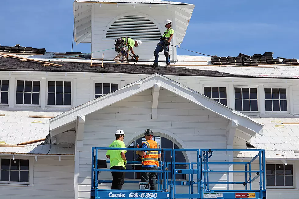
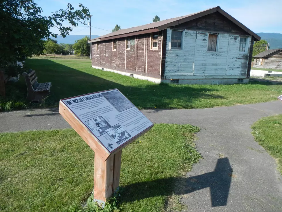
Properties like the Missoula County Fairgrounds earned a score of three in a number of categories, as did Fort Missoula and the Larchmont Golf Course. Other properties, such as an unnamed parcel off Flynn Lane, scored mostly zeros in all categories, meaning it has little measurable value under the application.
Brock said the county will collect feedback on the new inventory over the next few months and spend the summer drilling down on any recommendations. Refinements could also make more land available to development.
“We anticipate those assessments, particularly in those subjective areas, to generate the most robust community discussion as the project goes forward,” Brock said. “These assessments aren't final. We want to ensure the foundation of this project is solid before recommendations are explored.”