‘Lost’ 1860s wagon trail at center of Missoula right-of-way debate across private land
A trail used between Stevensville and Missoula as early as the 1860s but – as some contend – was never recorded as an official road lies at the center of a petition by a handful of residents looking to access the Bitterroot River in Lower Miller Creek.
Doing so would require opening access across private land, and it has pitted a number of property owners against the request. Missoula County commissioners will view the "road," as required by state law, in its consideration of the petition later this month.
“From time to time, county residents submit road or right-of-way petitions to our office,” said Sam Scott with the county's Clerk and Recorders Office. “A petition has been submitted to our office to alter county right-of-way on Bitterroot Road from Lower Miller Creek to the river for approximately 7,000 feet.”
The route of what's believed to be the old wagon road crosses a number of private properties and two conservation easements, including the Oxbow Cattle Co.
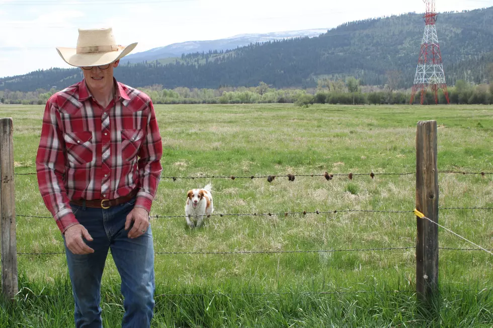
Ranch owners Bart and Wendy Morris said Oxbow owns a portion of private road where the petition seeks to relocate the old wagon road to gain right-of-way to the river. The proposal would run adjacent to the cattle company's pens, water, equipment and headquarters.
“If this 150-year-old unknown road was moved to the road that runs right through our headquarters, to say that it would change our ranch and way of doing business would be an understatement,” said Bart. “If this road were made public, it would disrupt our management and put our livestock at risk.”
According to the county, the historic wagon trail has been known as the Bitterroot Trail, the Missoula-Skalkaho Road, and the Missoula to Stevensville Road. It was petitioned in 1867 and the survey allegedly accepted in 1868.
“This Road was petitioned, a committee was appointed to 'locate a wagon road,' and the report from that committee was adopted,” the recent county survey reads. “Although no explicit action was found in the Commissioners' journal to declare this a county road, the evidence indicates a clear intention to create one.”
But the survey also notes that the road lies in an area subject to flooding and got little public use after 1874. The location of the road “can only be determined from an interpretation of the terrain, oral testimony, written evidence, and historical use of the area.”
For those reasons and more, Thomas Bourguignon, who represents the Big Hill property, described the residents' petition for right-of-way access to the river as “deficient.”
“The petition acknowledges that the location of this road is unknown for most of its route,” he said. “I don't think there's sufficient evidence that a county road ever existed here. I don't think that in the event of litigation that the county would succeed in arguing that a county road in fact had been established in the 19th century or ever since then.”
None of the 15 petitioners showed up at Thursday's initial hearing – something noted by opponents. Even those not holding land impacted by the right-of-way request opposed the proposal, saying it would increase traffic in an otherwise peaceful area and displace wildlife.
“Putting in an easy access point this close to Missoula would create a high-use area. That would diminish a lot of things about this stretch of river, primarily the conservation of wildlife,” said Ruben Frye. “I've viewed all sorts of waterfowl, ground nesting birds, bears and even wolverine. Those animals would be displaced if you put in a high-use access point.”
Jenny Tollefson, stewardship director at Five Valleys Land Trust, said the proposed right-of-way would cross two conservation easements stewarded by the nonprofit. One includes the Oxbow Cattle Co., which was established in 2018 and the Hunters Ranch easement recorded in 2000.
The easements were established to protect a number of values dwindling in the Missoula Valley as the population grows including the conservation of prime agricultural soils, the protection of wildlife and habitat, and maintaining open space.
As required by law after a right-of-way petition has been submitted, at least one county commissioner must view the area. County officials plan to do so on July 26.
“I have to say I'm really surprised that none of the petitioners came today to give us their ideas,” one woman said at Thursday's hearing. “I was interested in hearing why they felt this particular access point was so beneficial when there's an access point a mile down the river.”