Snow drought plaguing Pacific Northwest, Rockies
Natalie Hanson
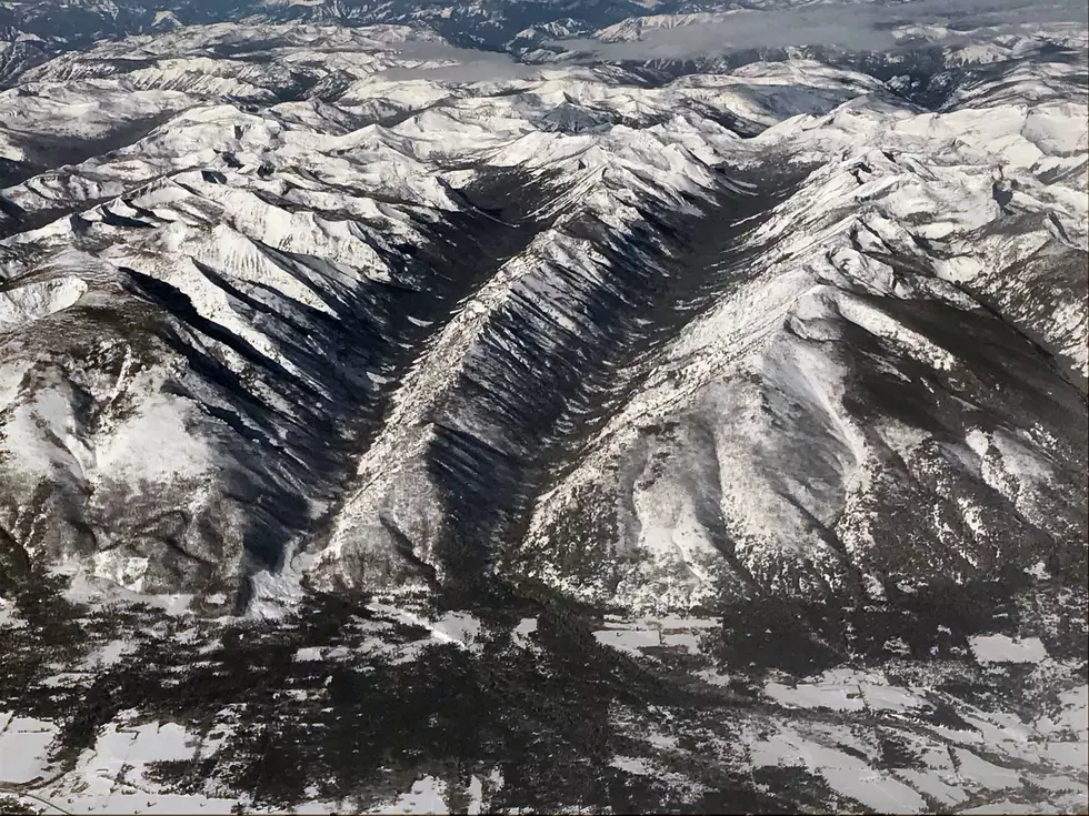
SACRAMENTO, Calif. (CN) — With the snow season drawing to a close across the West, the Pacific Northwest and northern Rockies face a snow drought that could spell disaster later in the year.
Many climate stations in Washington state, northern Idaho, Montana and much of northern Wyoming report a snow water equivalent measurement at 30% of average or less. Some stations in western Montana and in the Bighorn Mountains of northern Wyoming report record lows for snow water equivalent, according to the National Oceanic and Atmospheric Administration's National Integrated Drought Information System.
“A dry March worsened conditions, with some locations receiving less than 50% of average precipitation for the month,” NOAA scientists said in a statement Wednesday.
Some areas have already reached the peak snowfall expected during the water year.
“Now is a critical time of year for water supply management as peak snowpack is one of the key variables used in forecasting spring and summer runoff,” the scientists said.
Recent March storms favored the Sierra Nevada, central Great Basin and Four Corners states. California water officials revealed an excellent outlook for snowpack and water reserves this week, as recent storms packed a punch that obliterated the state's own snow drought. The statewide snow water equivalent now measures at 110% of the April 1 average.
The experts say the more dire situation north and east of California is due to less rainfall following extended periods of drought and above-normal temperatures. Western Montana and northern Wyoming face some of the worst conditions, and the U.S. Drought Monitor reports moderate to extreme drought across most of the northern Rocky Mountains which is likely to worsen as summer approaches.
Washington state and some parts of Oregon lost critical moisture following a major snowmelt beginning in late January. The Cascade Range from Mt. Rainer to the Canadian border have received no rainfall for the last 30 days, and many stations only saw 40% to 60% of normal precipitation — meaning many stations see a snow water equivalent below 15%. Snowpack on Mount Gardner and Cougar Mountain has already melted, more than a month earlier than normal.
On the bright side, March storms brought good news to the Cascades in Oregon. Most of the region received about 65% to 85% of the normal precipitation for March.
However, January's melt event had a major impact on seasonal snow drought. Daly Lake in central Oregon remains below normal after losing nearly 8 inches of snow water equivalent between Jan. 18 and Feb. 2.
“The situation in Oregon illustrates the transient nature of snow drought in some climates and the importance of event-based monitoring,” the scientists said.
The central and southern Rocky Mountains have fared better this winter, with many basins in southeastern Idaho, southwestern Wyoming, Utah and Colorado receiving above normal snow water equivalent measurements. The upper Colorado River Basin, where snowpack is critical to fill Lake Powell and Lake Mead, sits at 114% of normal.
The mountains of Arizona and New Mexico also enjoyed benefits from a fairly wet winter, with many stations reporting greater than 200% of normal precipitation in March. Almost all regional stations saw above normal snow water equivalent, with many at greater than 150% of normal.
Still, some drought persists in the south, with extreme or exceptional drought along the New Mexico–Mexico border.
But the scientists noted that as usual, things can change before summer: “April and May are still critical months for monitoring the snowpack and preparing for possible rapid melt events during spring heat waves or rain-on-snow events."